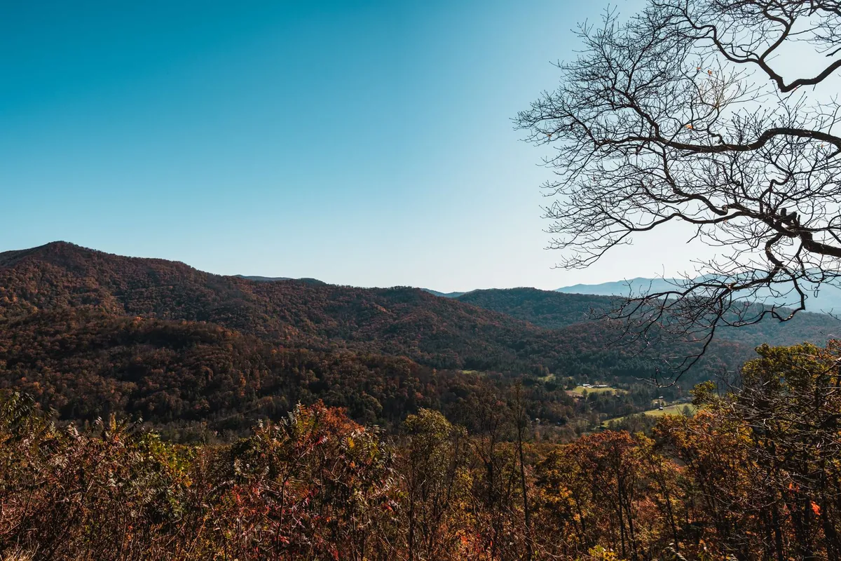
Trails, overlooks, and waterfalls within an hour of Asheville, with the Helene closures noted so you do not drive to a locked gate.
Mountains are the reason many people come to Asheville. Hurricane Helene damaged roads, trails, and campgrounds across the region, and some are still closed, so conditions matter more here than most places. Every entry below links to the official source for current status.
Blue Ridge Parkway
The Blue Ridge Parkway is open through the Asheville area and south toward Mount Pisgah and Graveyard Fields, but sections north of Mount Mitchell are closed. Check the NPS status page first.
Craggy Gardens
Craggy Gardens has open trails and mountain views, though its picnic area is listed as closed by the National Park Service.
Mount Mitchell State Park
At 6,684 feet, Mount Mitchell is the highest point east of the Mississippi. It is reached from the Asheville side of the Parkway only, and its restaurant is closed for the season.
North Carolina Arboretum
The Arboretum has 434 acres of gardens and trails. Check its site for current access notices before you go.
Pisgah National Forest
Pisgah has waterfalls and trails, and the Cradle of Forestry reopened for its 2026 season, but some areas remain closed or rerouted. Confirm with the Forest Service before you go.
Chimney Rock State Park
Chimney Rock is about 25 miles southeast of Asheville and is open as it recovers from Helene. Read the park's current visit page first.
Asheville Botanical Garden
For an easier walk, the Asheville Botanical Garden is in town and focuses on native plants.
More
See best hikes near Asheville and the Parkway guide.